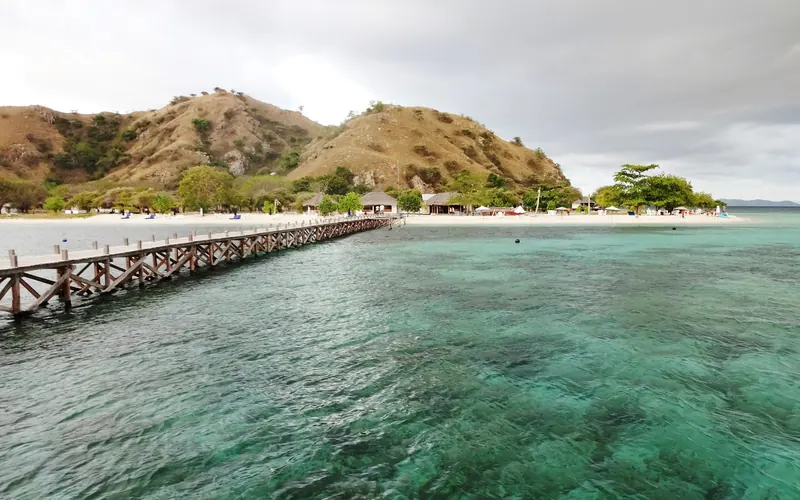
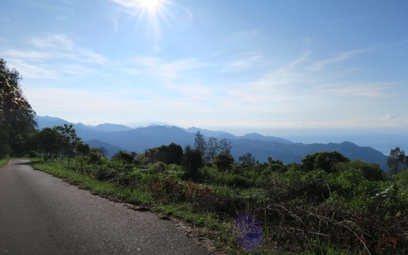
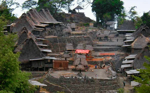
Bajawa · 70–75 km
Three to four hours on sealed road. The shortest and the most reliable.
Photo: Felix Dance / Wikimedia Commons, CC BY 2.0.
Map & distances
Coordinates, honest road times from every direction, and why published estimates disagree with each other so badly.
Riung is at roughly 8.42°S, 121.03°E in Ngada Regency — about 70–75 km from Bajawa, 130 km from Ende and 340 km from Labuan Bajo, all of it overland.
The approaches
Times are for dry-season daylight driving. Add an hour in rain, and more after a landslide.
Three to four hours on sealed road. The shortest and the most reliable.
Photo: Felix Dance / Wikimedia Commons, CC BY 2.0.
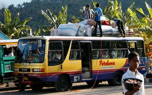
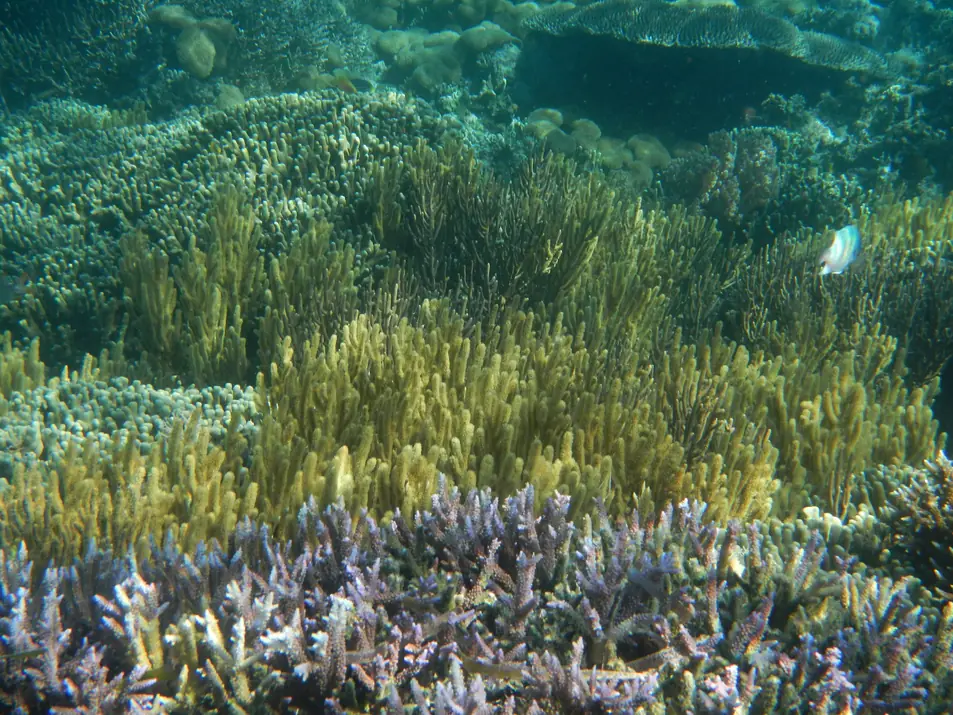
Three and a half to five hours via Mbay. Morning buses run this way.
Photo: Serenade / Wikimedia Commons, CC BY-SA 3.0.
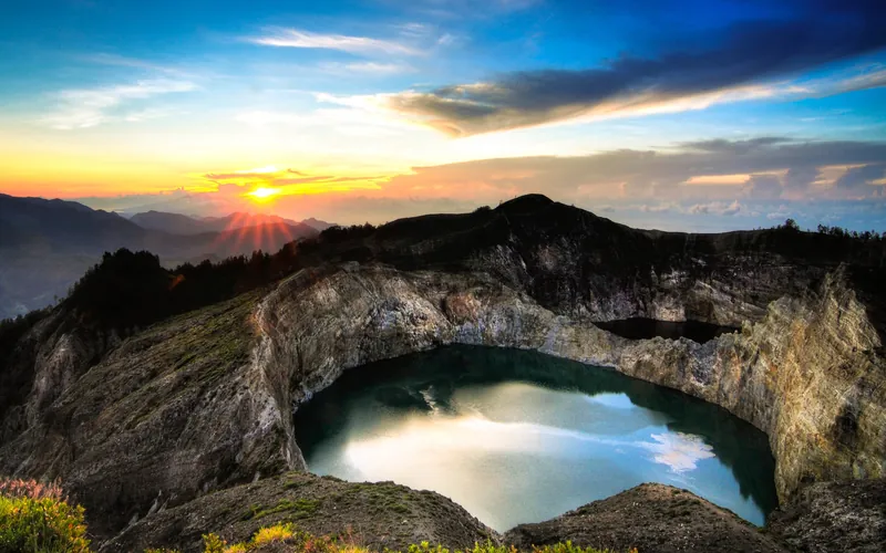
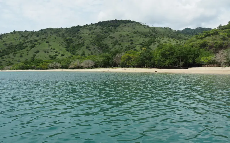
Sunrise at the crater lakes, then north the same day. A long but good day.
Photo: Bagus Pinandoyo Basuki / Wikimedia Commons, CC BY-SA 4.0.
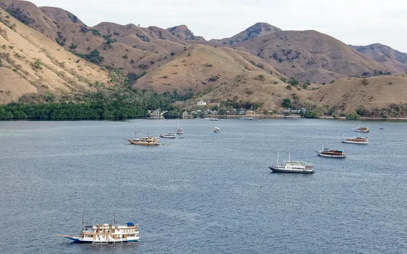
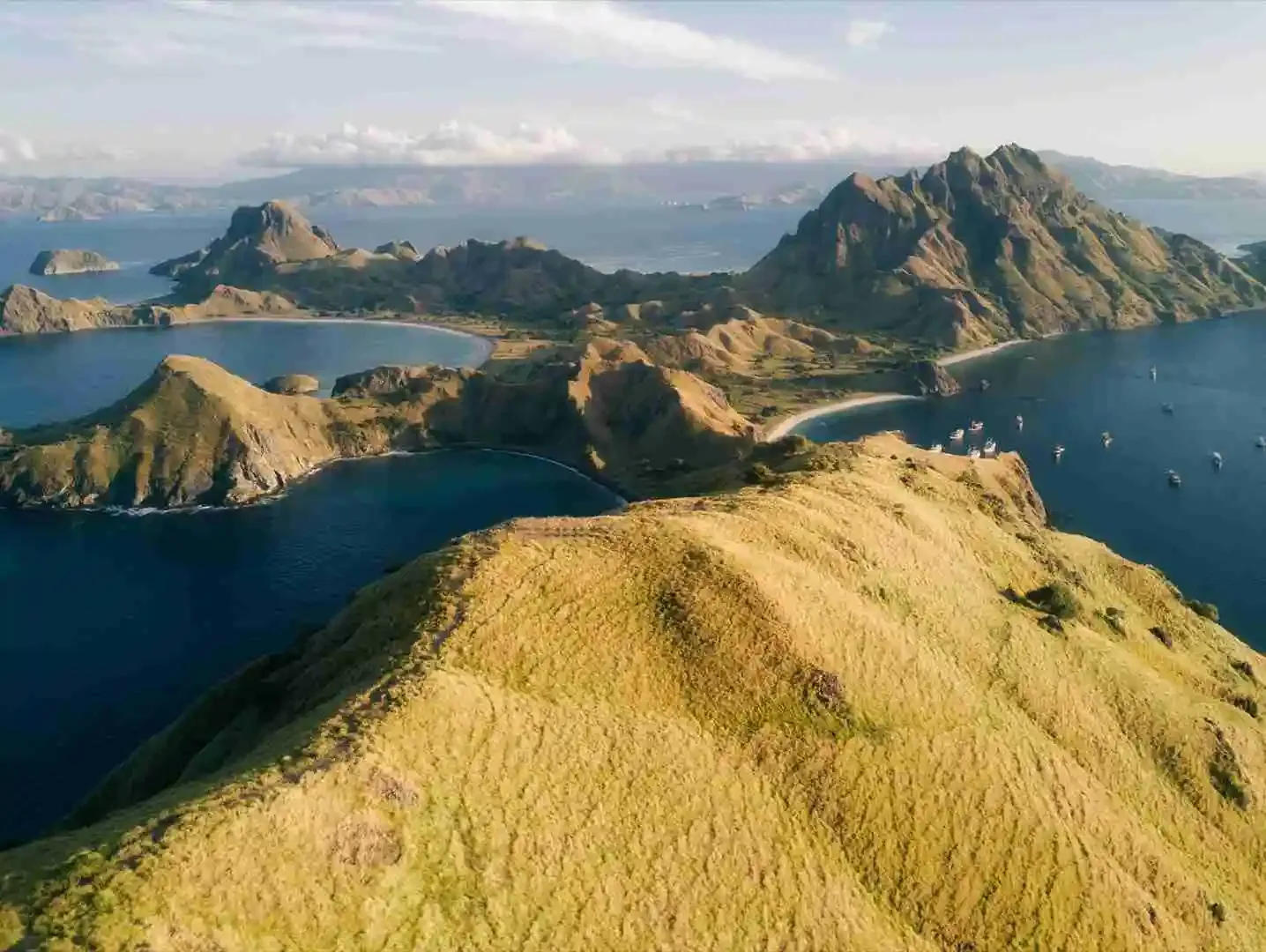
Eleven to thirteen hours. Nobody sensible does this in one push.
Photo: Jakub Hałun / Wikimedia Commons, CC BY 4.0.
Why the numbers disagree
Published estimates for Bajawa–Riung range from two and a half to six hours. They are all describing the same road; what differs is whether the writer drove it, took a bus, or copied someone who did neither.
Assume the upper end. The road climbs, it is single carriageway most of the way, and a truck in front of you sets your pace for the next twenty minutes.
Riung boats are arranged locally, at the pier. For the Komodo leg or a full Flores itinerary, the reservations desk answers on WhatsApp.